
The challenge
Large public construction projects generate data from many disconnected sources — drone flights, CCTV, worker tracking and wearables. Project owners lacked a single, map-based view of progress, people and equipment.
Our solution
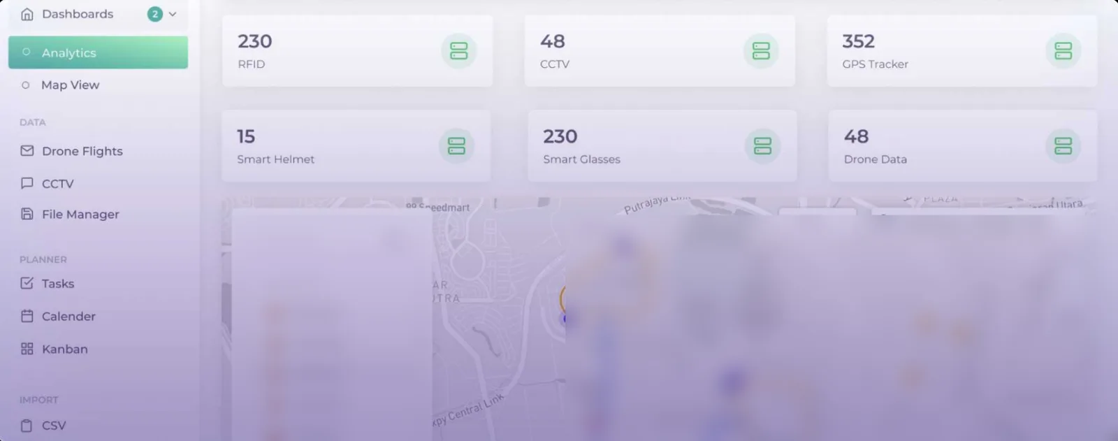
DEEPSIGHT led the front-end development of a monitoring platform built on Mapbox and cloud services, bringing every data stream into one spatial interface.
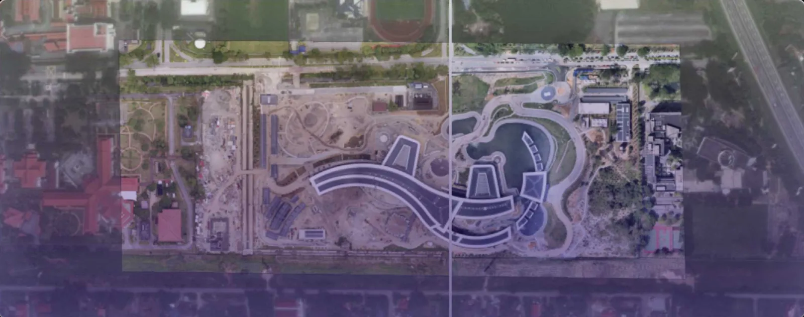
- Before/after drone imagery comparison to track physical progress
- Live counters and status for RFID, CCTV, GPS trackers, smart helmets and smart glasses
- Zone-based map view with worker and asset positions
- Built-in planner — tasks, calendar and Kanban — linked to site locations
- Drone flight, CCTV and file management in one place
Outcome
Project managers gained a single source of truth for site status, reducing the time spent consolidating reports and making it easier to spot delays and safety issues early.