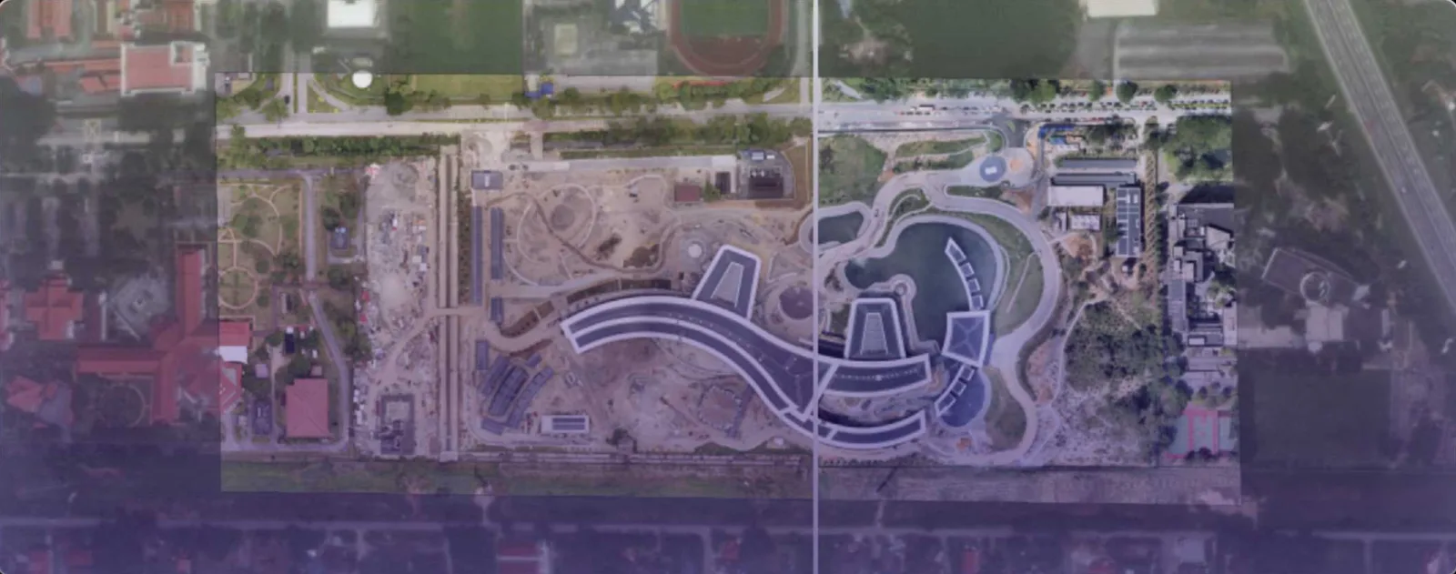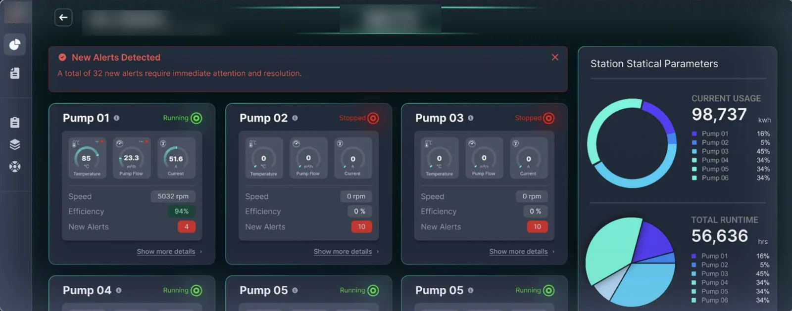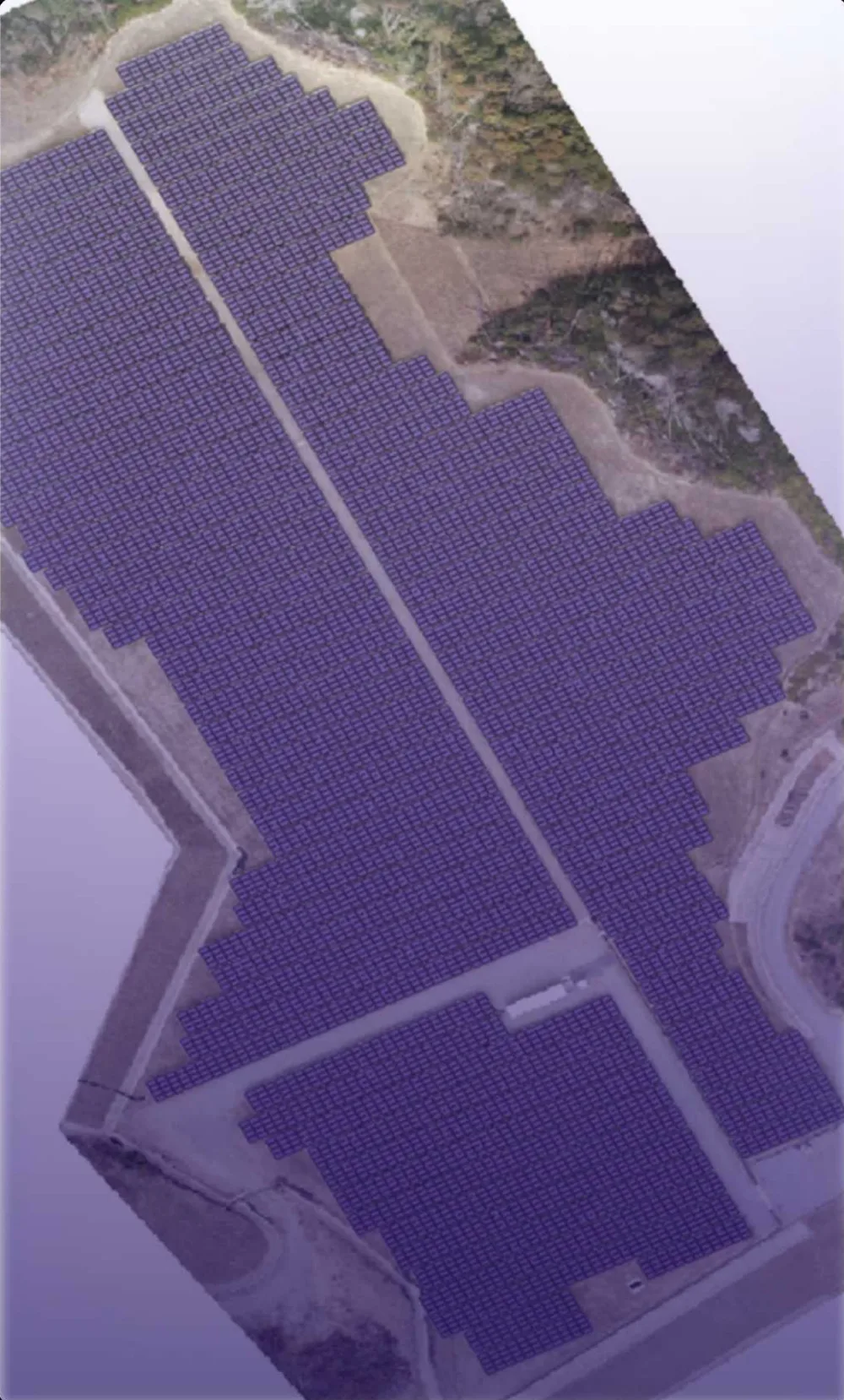


A digital twin is only as useful as the data flowing into it. DEEPSIGHT designs twins around live operations — connecting IoT sensors, drone surveys, satellite updates and enterprise records to a single spatial interface where managers can see what is happening, where, and what is likely to happen next.
We build the full stack in-house: data engineering, machine-learning models, the 3D/2D map interface and the dashboards on top. That means one accountable team from sensor to screen.
Built for operations, not demos
Our platforms are designed for daily use by operations and planning teams — fast to load, clear alerts, drill-down from city or site level to an individual asset, and exportable evidence for reporting. We integrate with what you already run rather than replacing it.