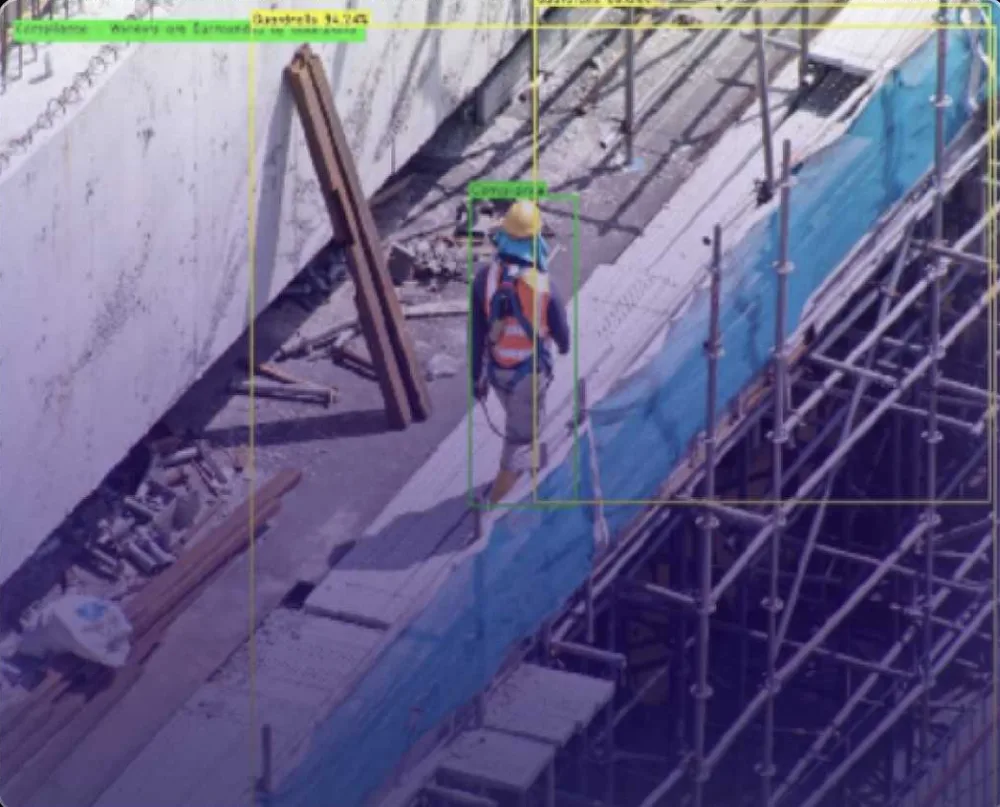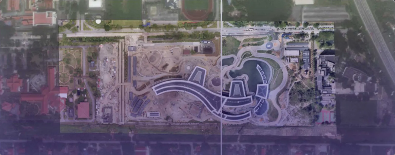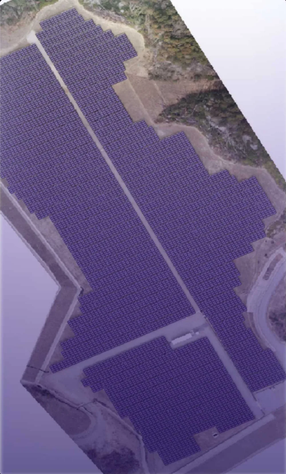

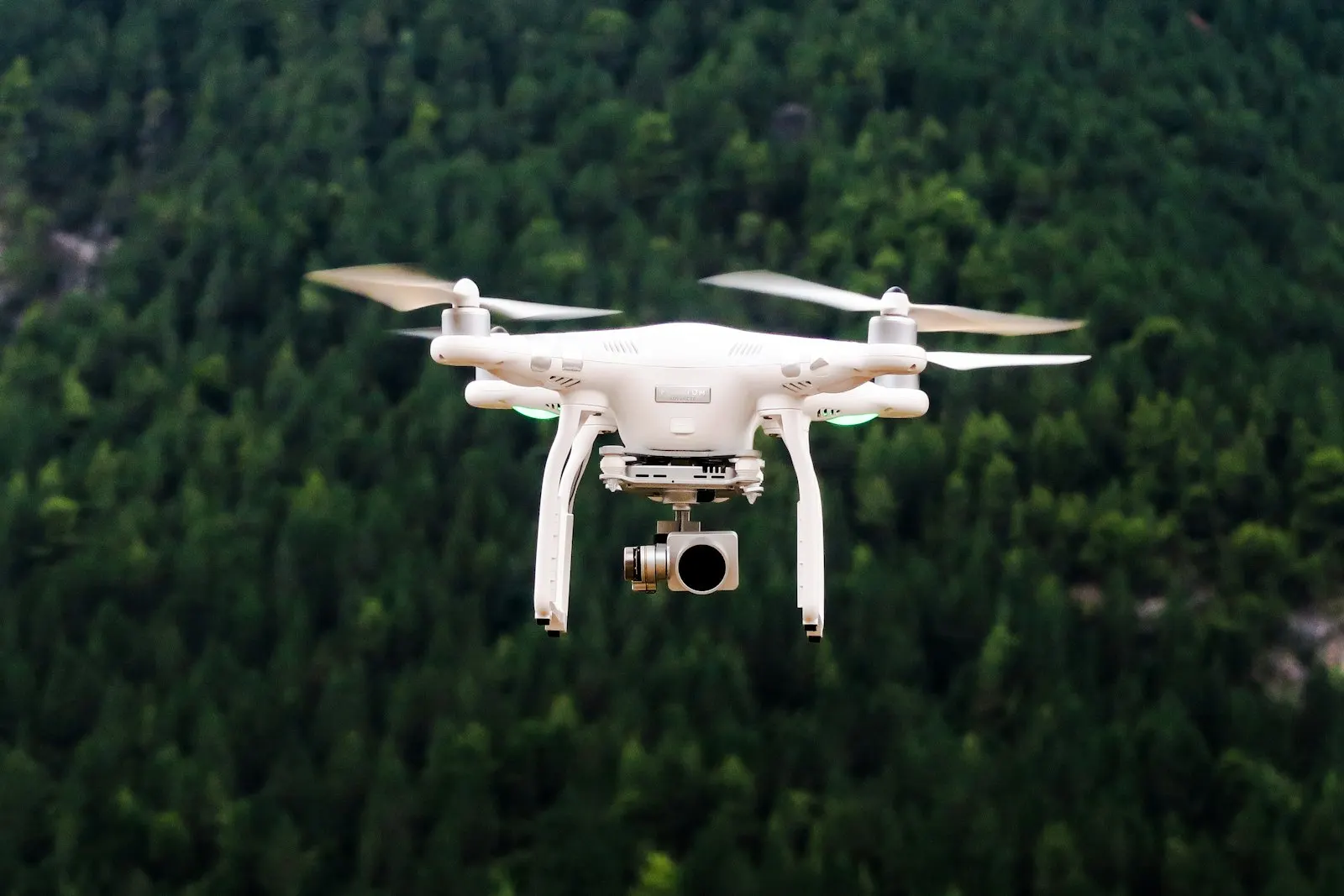
Drones close the gap between infrequent satellite passes and costly ground inspections. DEEPSIGHT handles the full UAV workflow — planning, capture, processing and AI analysis — so you receive answers, not just terabytes of imagery.
Our detection models are trained on real Malaysian site conditions, and outputs are georeferenced so every finding can be located, assigned and tracked to closure.