


Services
Five capabilities.
One clear picture.
DEEPSIGHT covers the full geo-intelligence chain — from acquiring the data to the AI that reads it and the platforms your teams act on.
GeoAI & Remote Sensing
Machine learning on satellite and aerial imagery to detect, classify and track change across land, assets and infrastructure.
- Land-use and land-cover classification from multispectral satellite imagery
- Multi-temporal change detection (deforestation, encroachment, new development)
- Object and feature detection — buildings, pipelines, substations, towers, roads, vegetation

Smart City, Digital Twin & IoT
3D digital twins and real-time dashboards that fuse IoT sensors, spatial data and AI into one operational picture.
- 3D city and site digital twins (buildings, terrain, underground assets)
- IoT sensor integration — GPS, RFID, CCTV, environmental and equipment telemetry
- Real-time operational dashboards and command-centre views

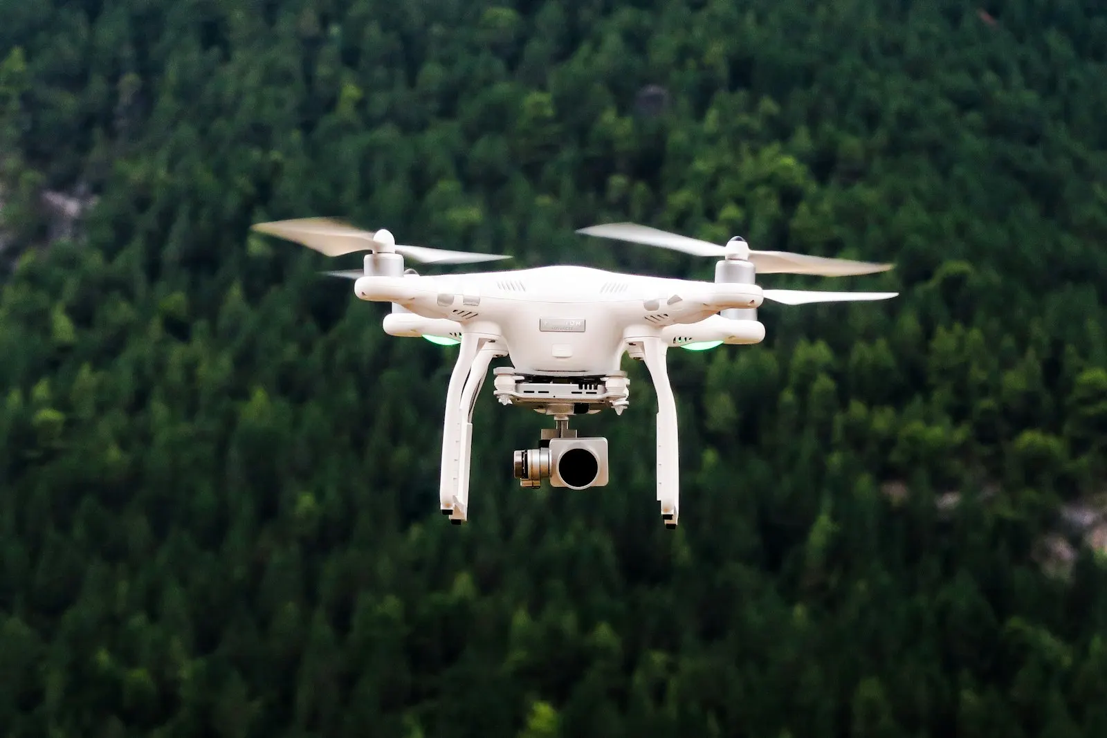
UAV Data Capture & Analytics
Drone surveys — RGB, thermal and photogrammetry — processed into orthomosaics, 3D models and AI-driven inspection results.
- Mission planning and drone data acquisition (RGB, thermal, multispectral)
- Photogrammetry — orthomosaics, DSM/DTM, point clouds and 3D meshes
- AI object detection on aerial imagery (PPE, safety features, defects)
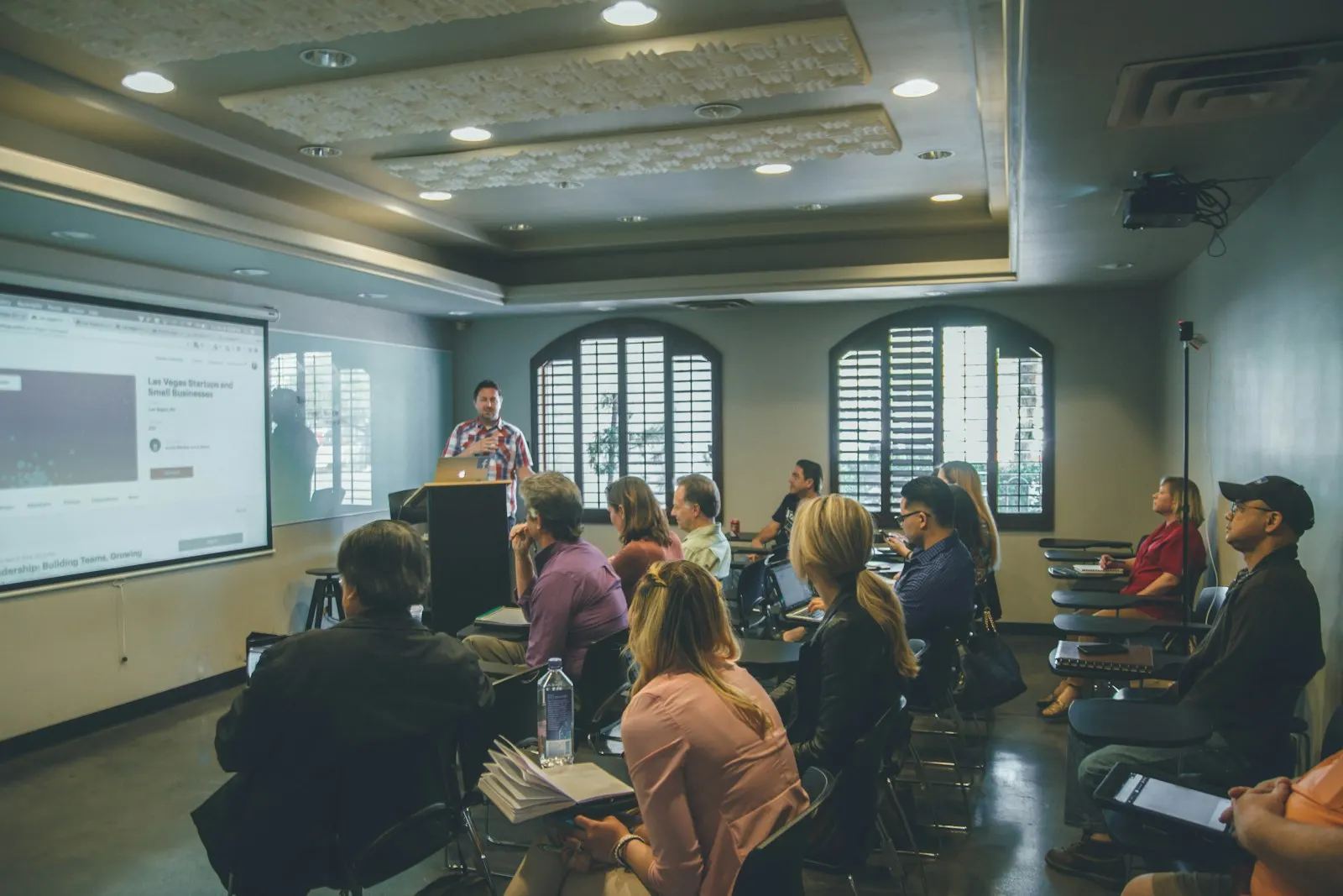
GIS & GeoAI Training
Hands-on GIS and GeoAI programmes for beginner, intermediate and advanced users in government and industry.
- Foundations of GIS — data models, projections, spatial analysis
- Remote sensing and satellite image processing
- GeoAI — applying machine learning to spatial data
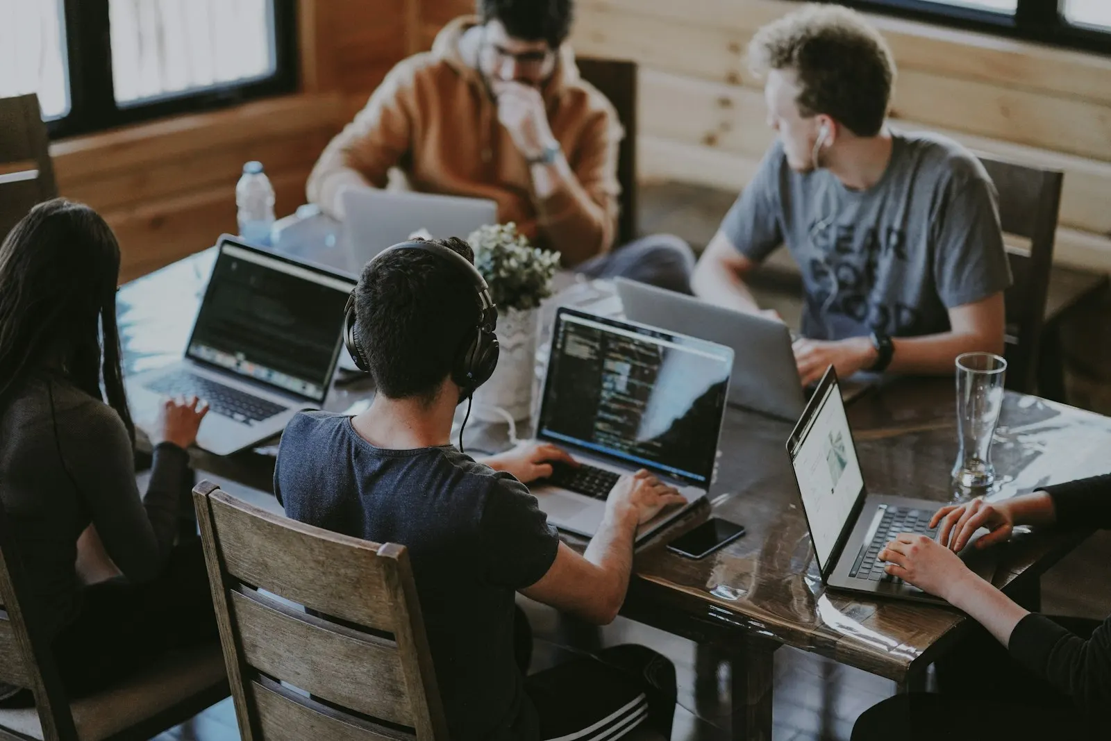
Consultancy & Project Management
GeoAI strategy, solution architecture and end-to-end project delivery — from requirements to rollout.
- GeoAI and digital-transformation readiness assessment
- Requirements definition, solution architecture and technical specifications
- Data strategy — sourcing imagery, sensors and existing GIS records
Start a conversation
Have a site, an asset or a region you need to see clearly?
Tell us about the decision you need to make. We will show you what the data can reveal — usually within a short scoping call.