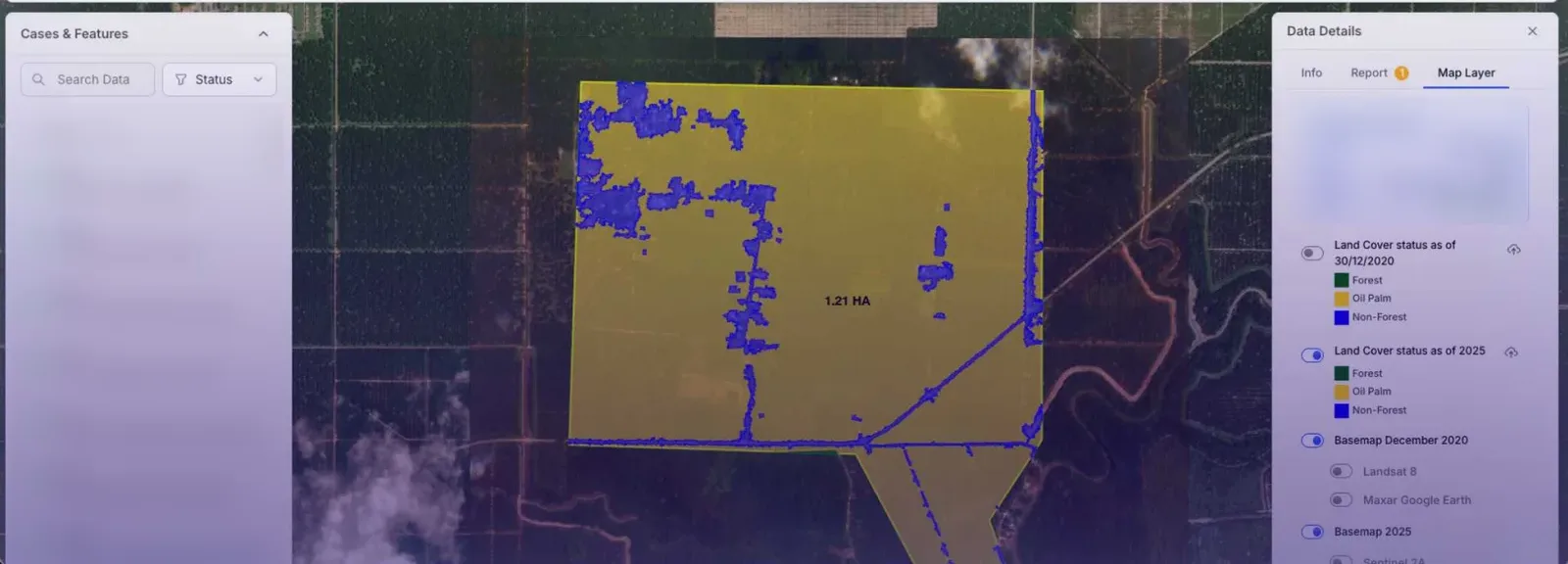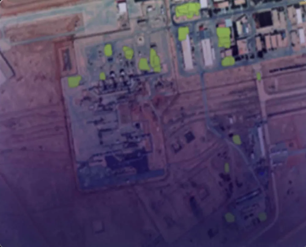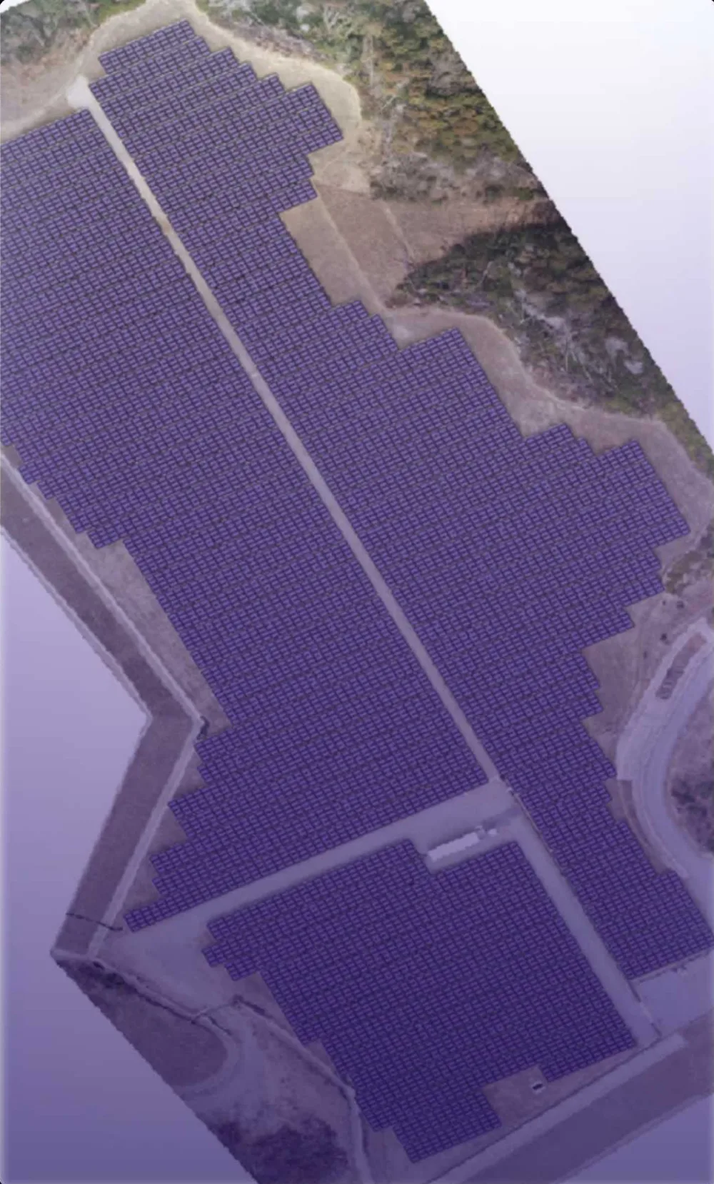


Every pixel of satellite imagery is a measurement. DEEPSIGHT turns those measurements into decisions — by training computer-vision models that see land, assets and change the way a trained analyst would, but at national scale and on a repeatable schedule.
We work across optical, multispectral and thermal sources — from free Sentinel-2 and Landsat archives to commercial very-high-resolution imagery and drone orthomosaics — and fuse them with your existing GIS records so results drop straight into the systems your team already uses.
How we work
We start with the decision you need to make, not the algorithm. Together we define the classes, accuracy thresholds and reporting cadence; we then build a labelled training set, train and validate models, and deploy an inference pipeline that runs on new imagery automatically. Every output is traceable back to the source scene and date — essential for regulatory and audit use.