
Skip to content
← All projects

Oil & Gas

Feature Detection for Seismic Survey.

Automated detection of ten feature classes within a survey region of interest, to support seismic survey planning and hazard avoidance.

Feature Detection for Seismic Survey — platform screenshot

The challenge

Before a seismic survey, planners must know exactly what lies within the region of interest — infrastructure to avoid, access routes and obstacles. Manually digitising features across large areas is slow and error-prone.

Our solution

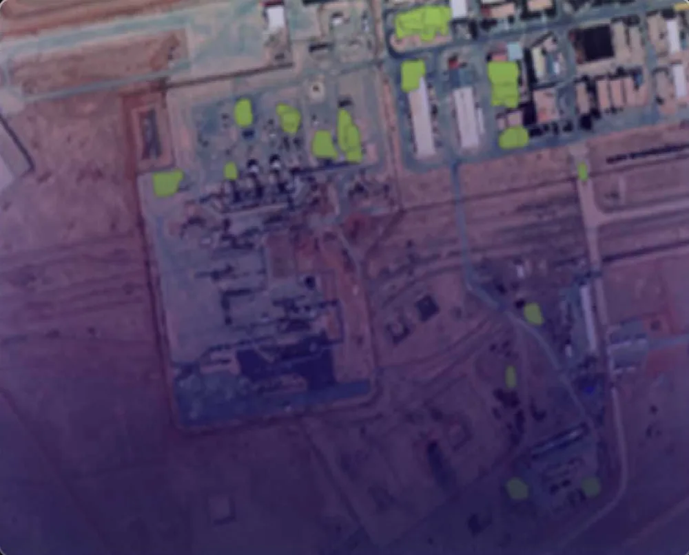
Using ArcGIS Pro deep-learning tools, DEEPSIGHT detected and extracted ten feature classes across the region of interest, including:

  • Vegetation and agricultural circles
  • Buildings and substations
  • Pipelines and railways
  • Communication towers
  • Highways and road networks

Outcome

Survey planners received GIS-ready feature layers that support line planning, exclusion zones and permitting — delivered in a fraction of the time required for manual digitisation.


Gallery

Feature Detection for Seismic Survey — image 1
Feature Detection for Seismic Survey — image 2
Feature Detection for Seismic Survey — image 3
Feature Detection for Seismic Survey — image 4

Next project

Pump Predictive-Maintenance Monitoring

→

Start a conversation

Have a site, an asset or a region you need to see clearly?

Tell us about the decision you need to make. We will show you what the data can reveal — usually within a short scoping call.